
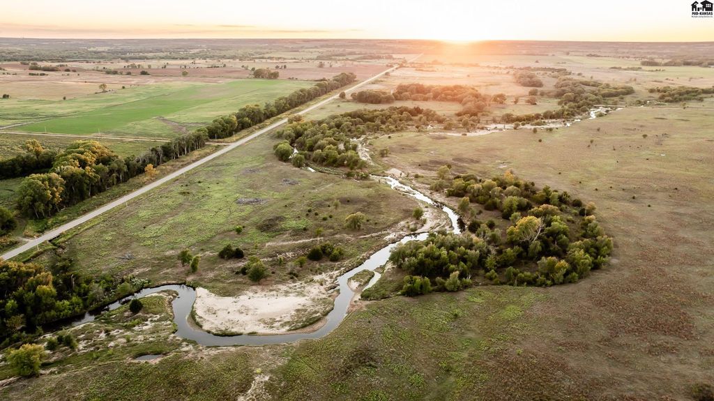
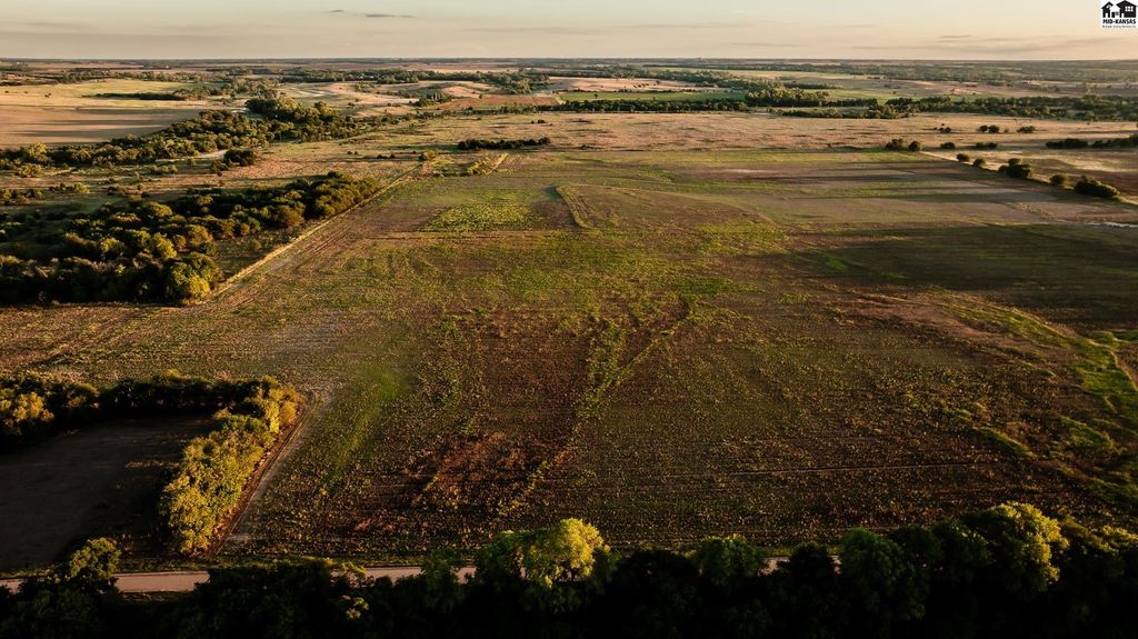
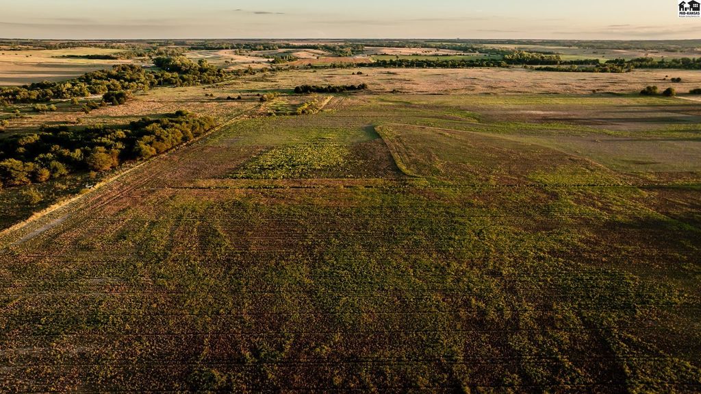
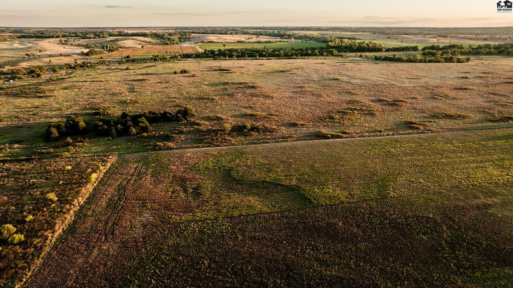
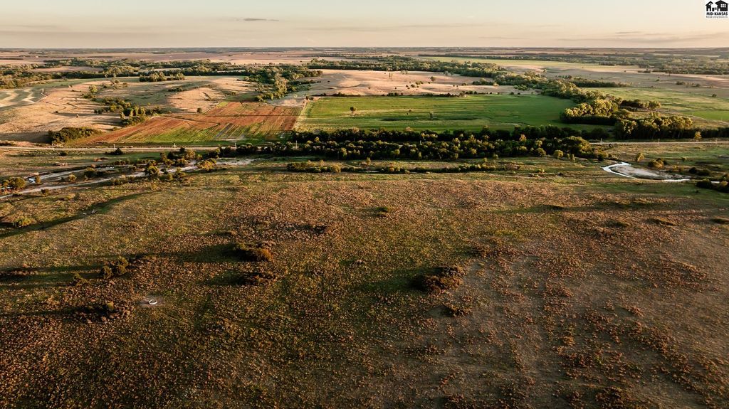
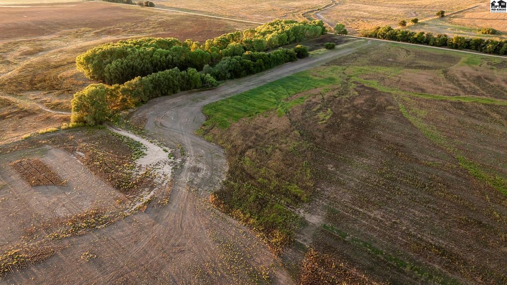
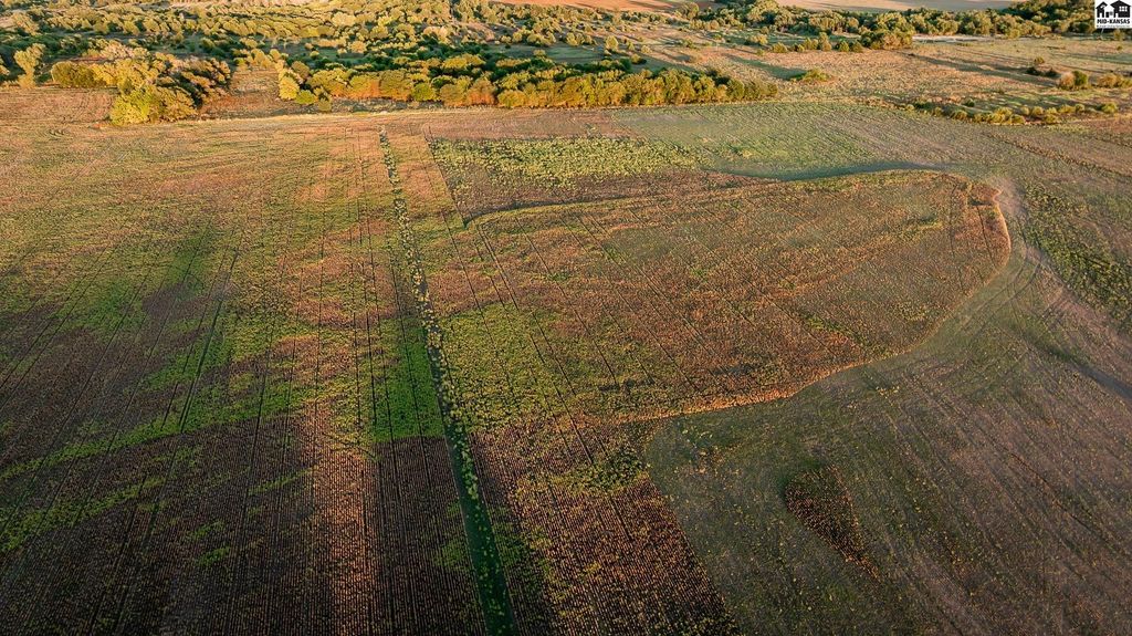
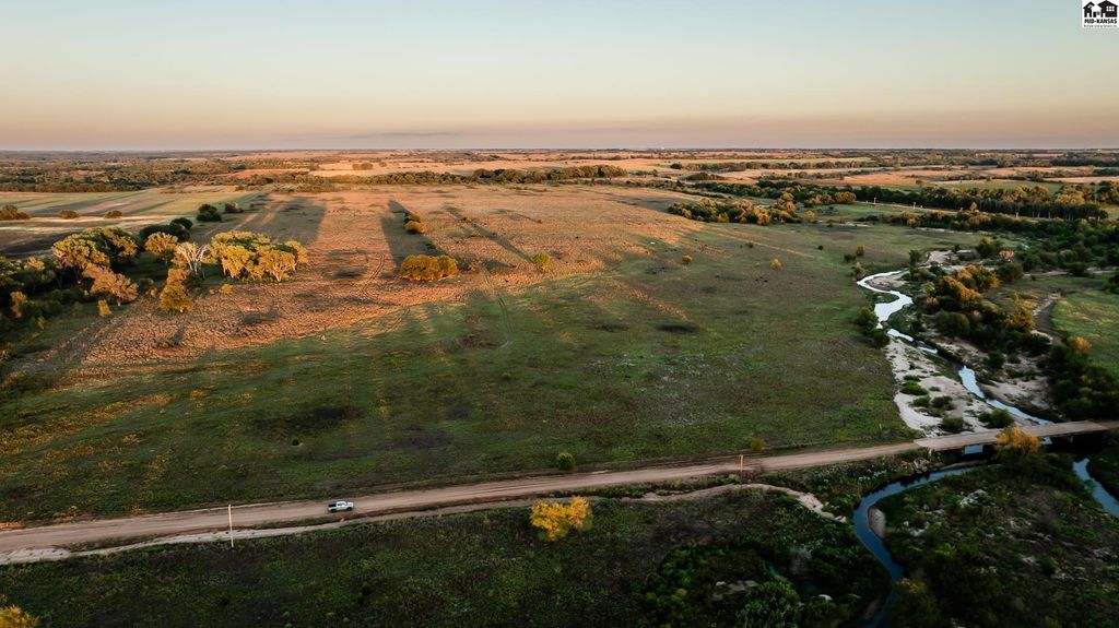
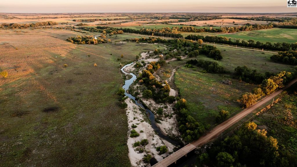
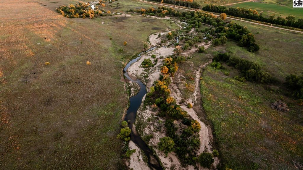
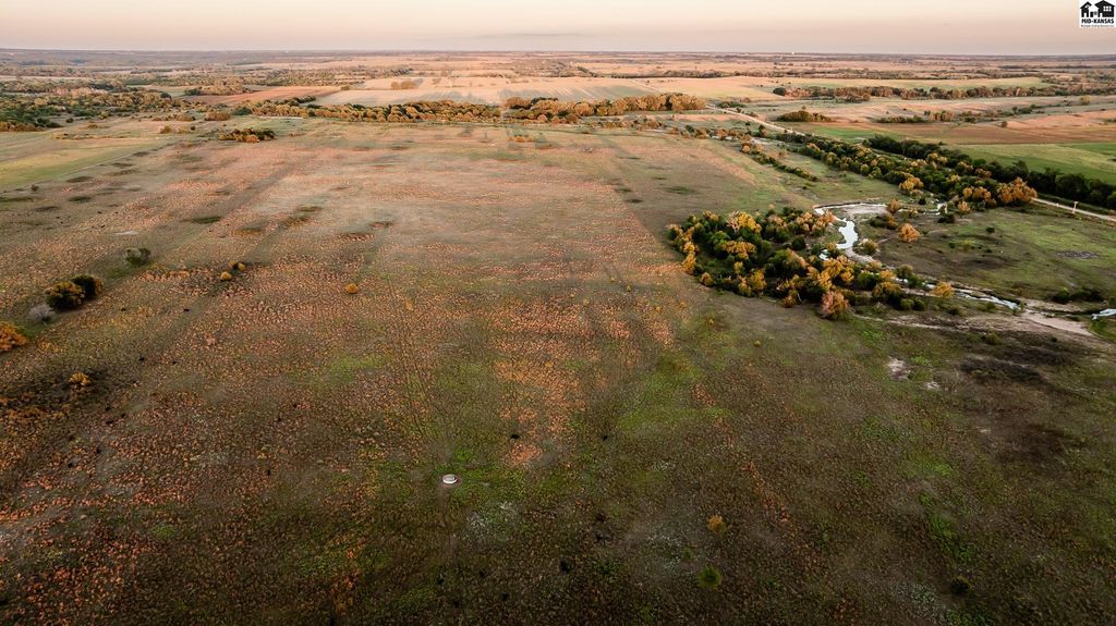
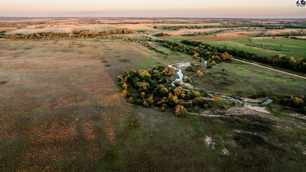
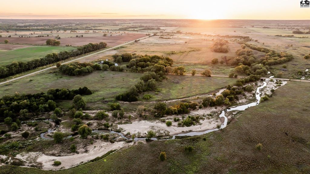
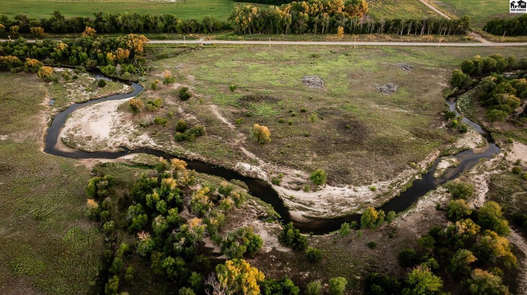
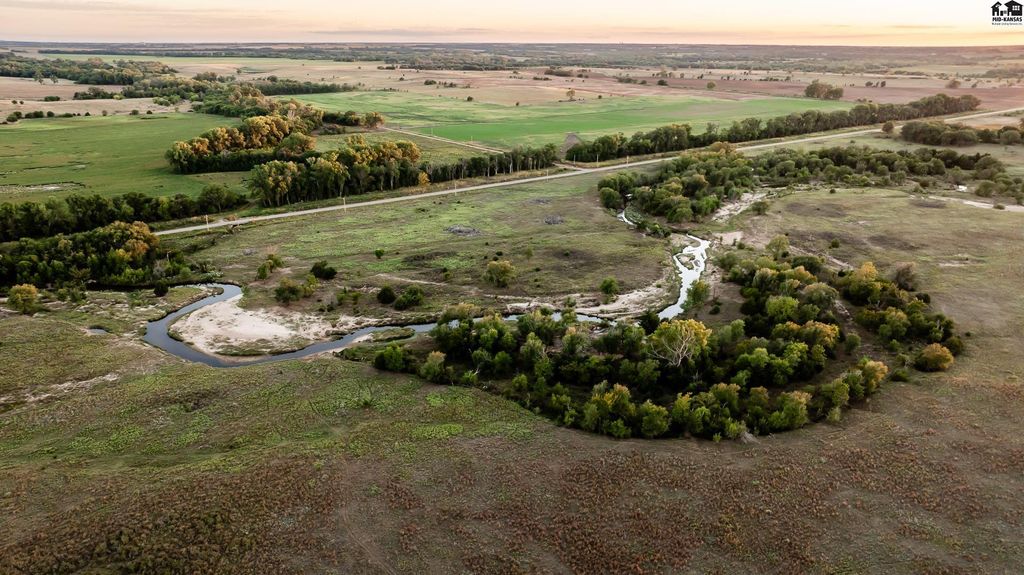
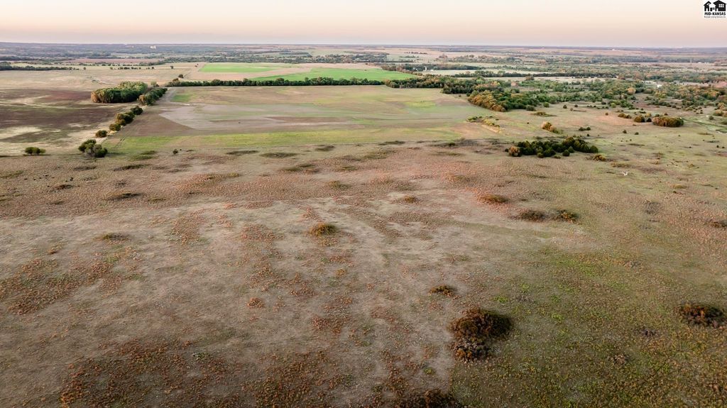
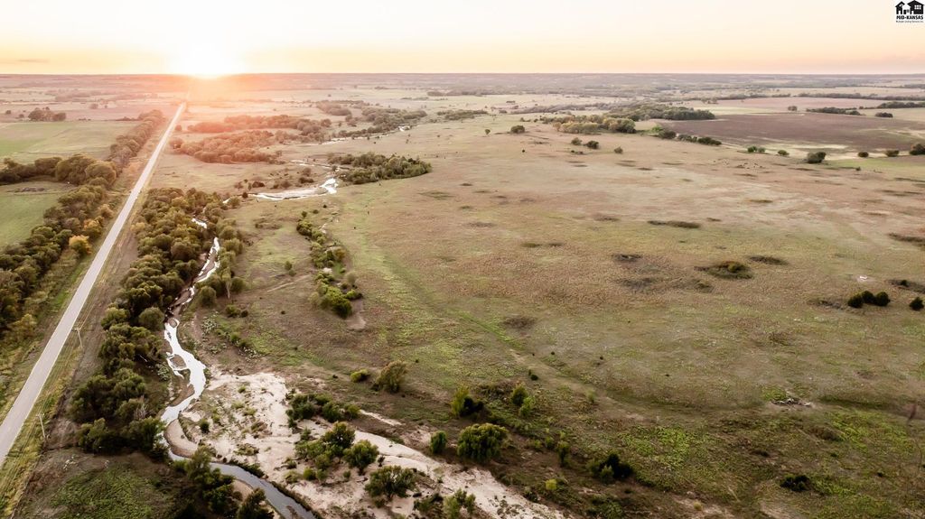
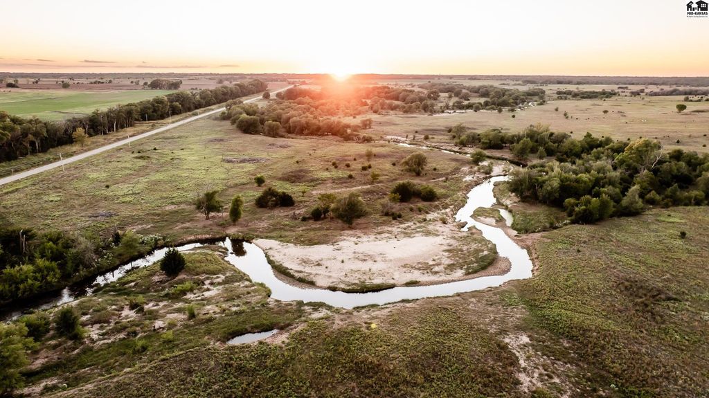
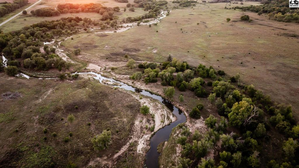
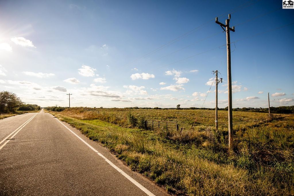
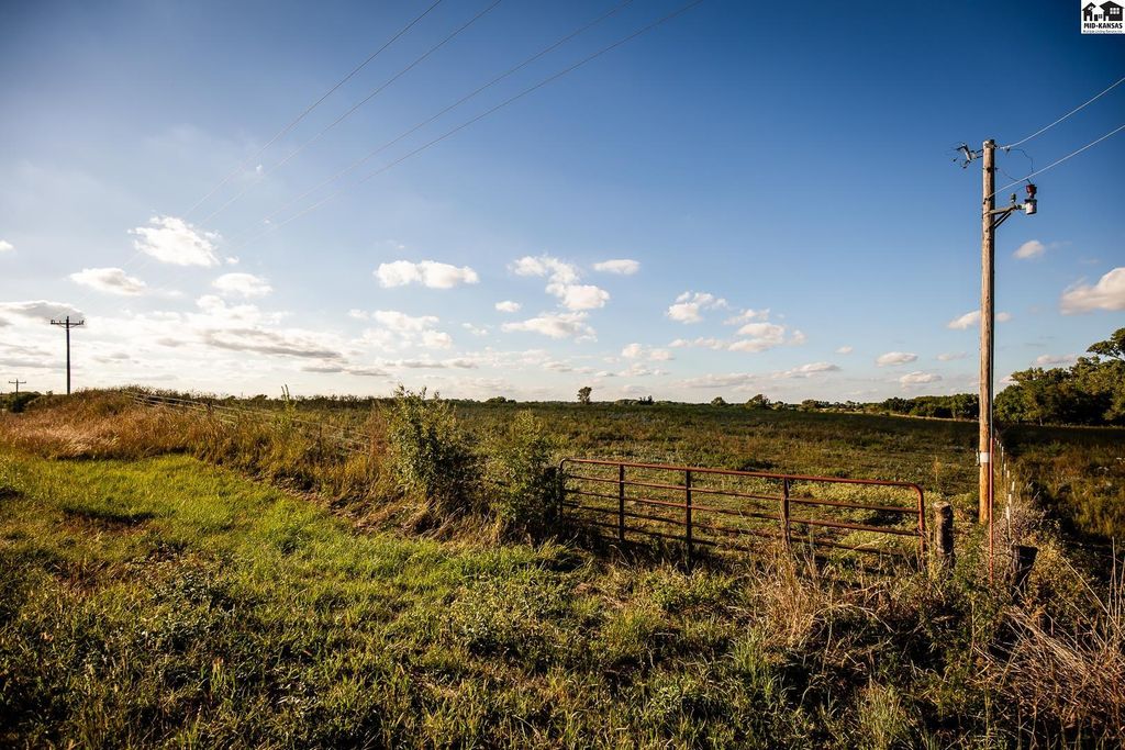
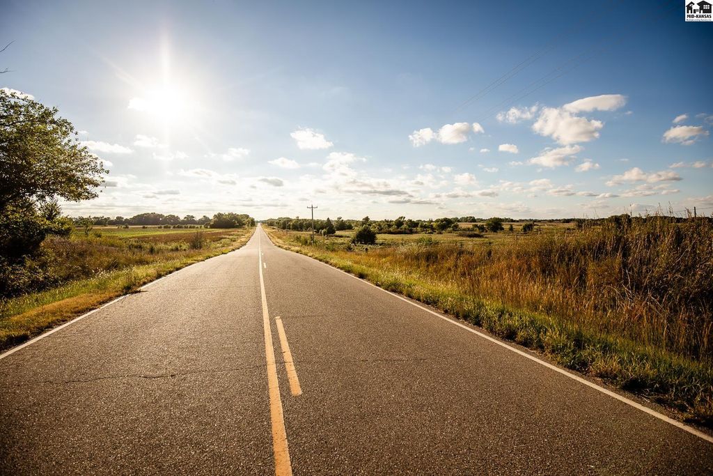
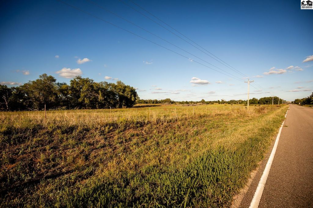
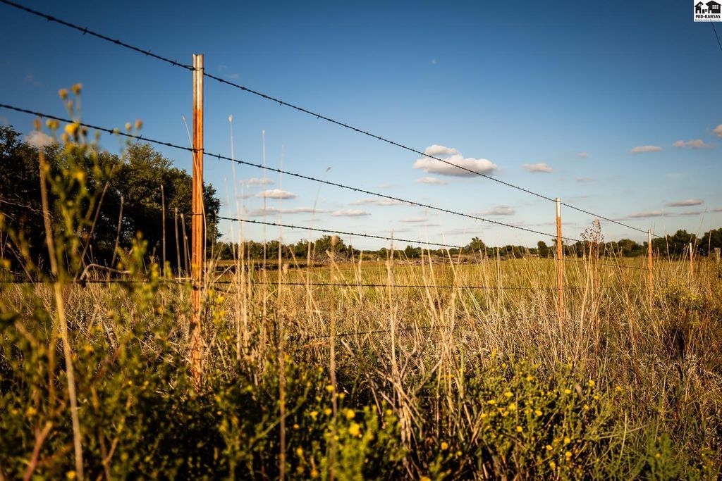
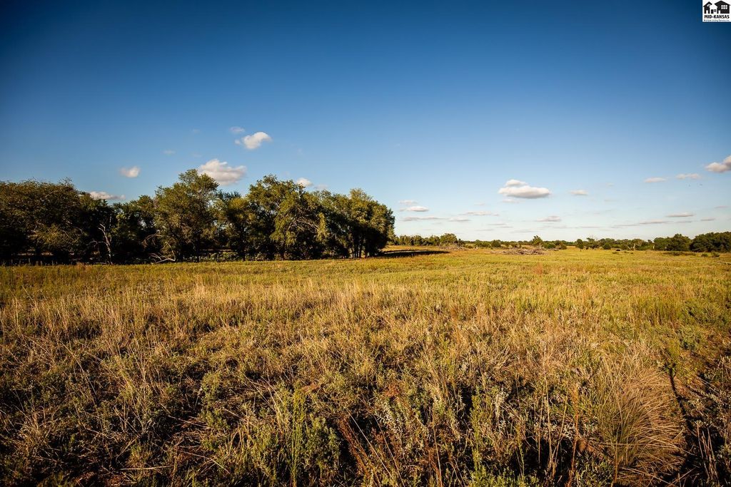
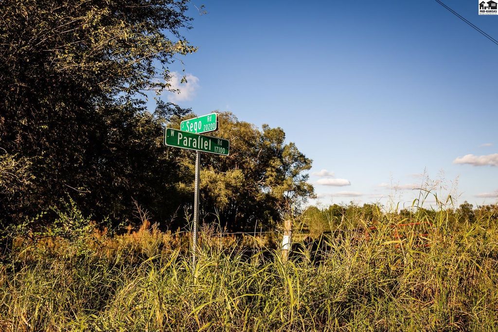
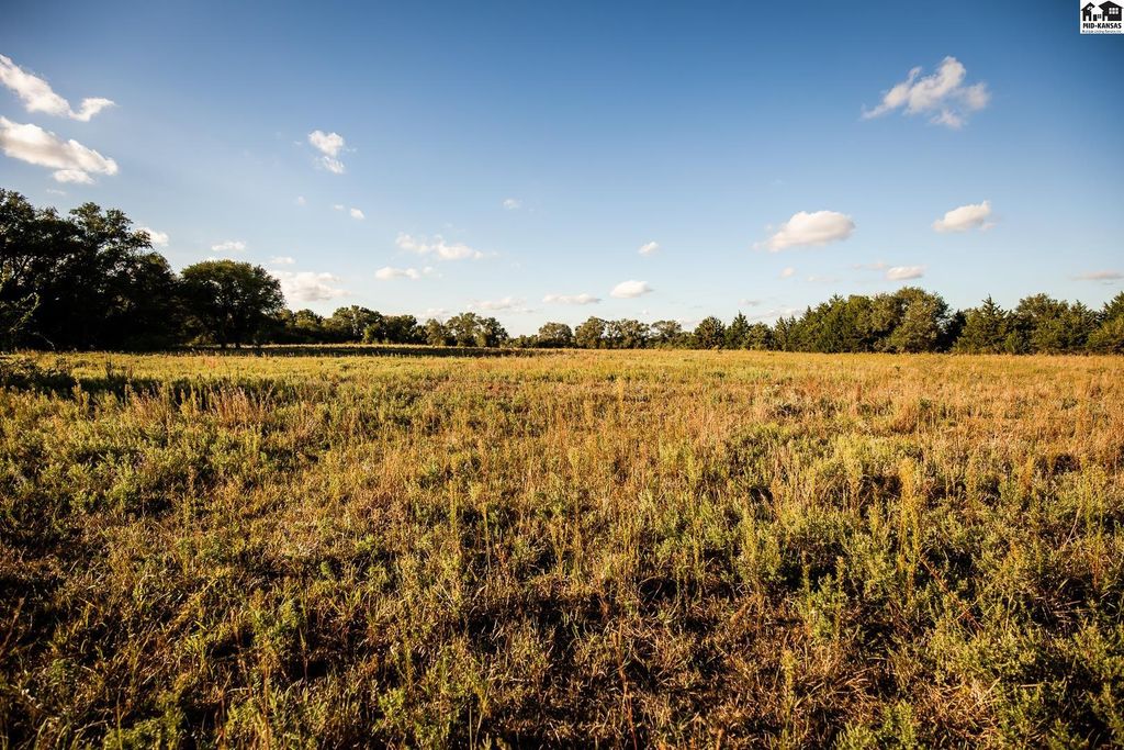
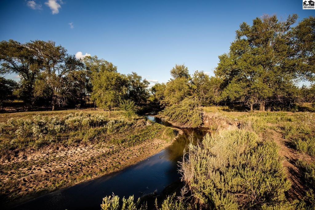
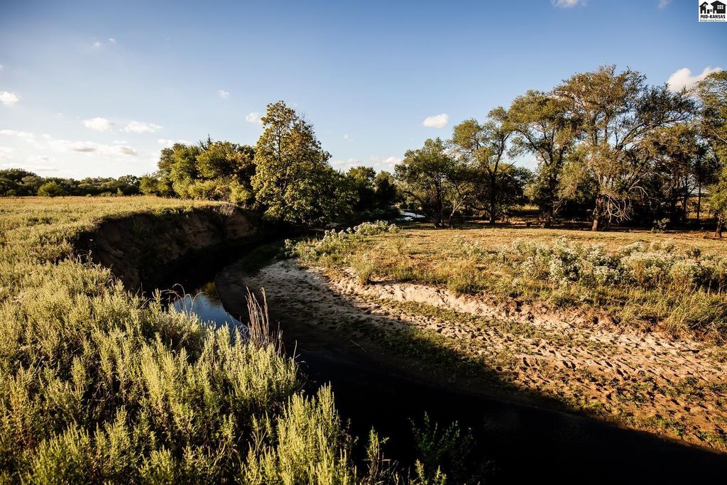
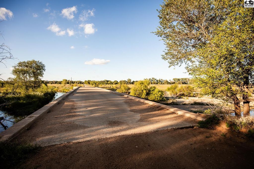
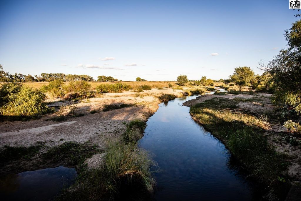
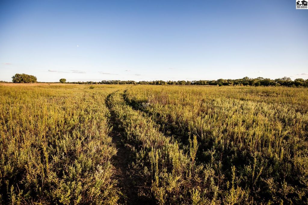
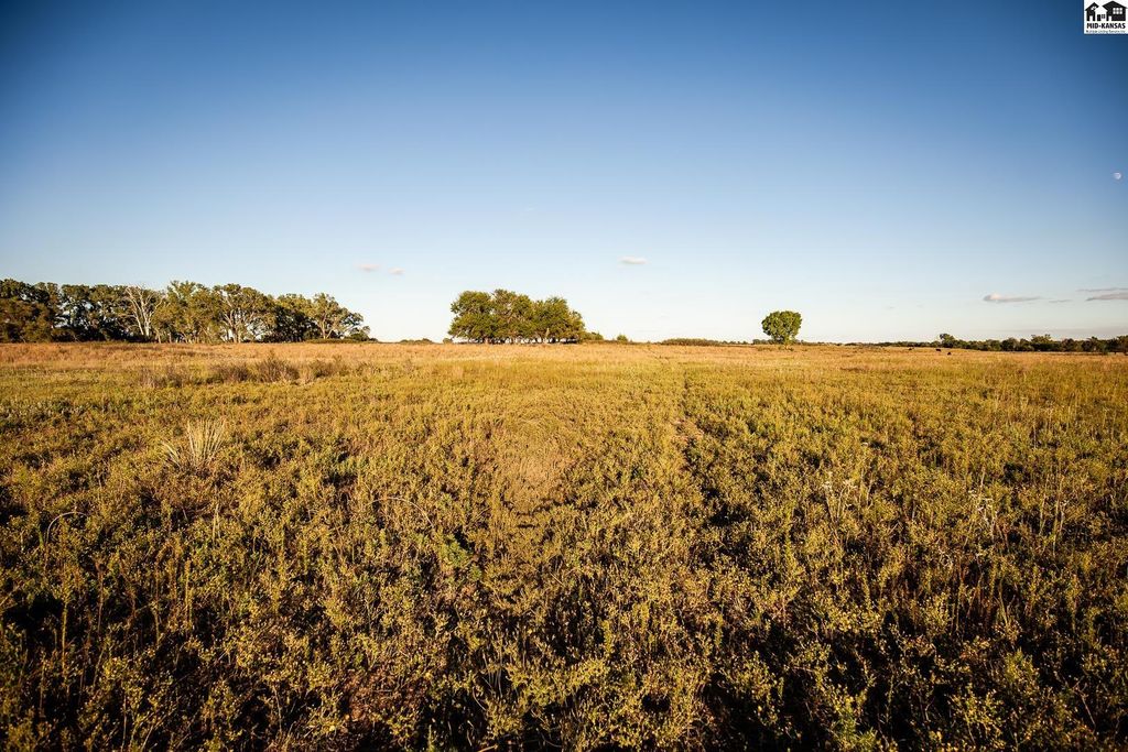
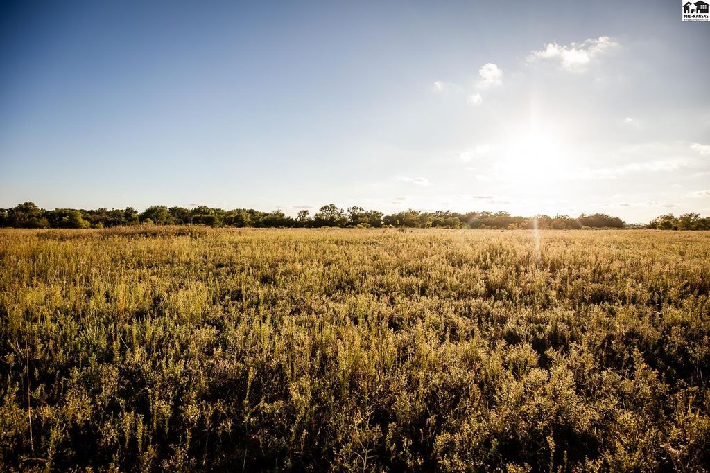
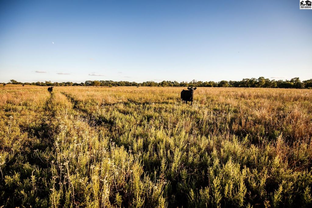
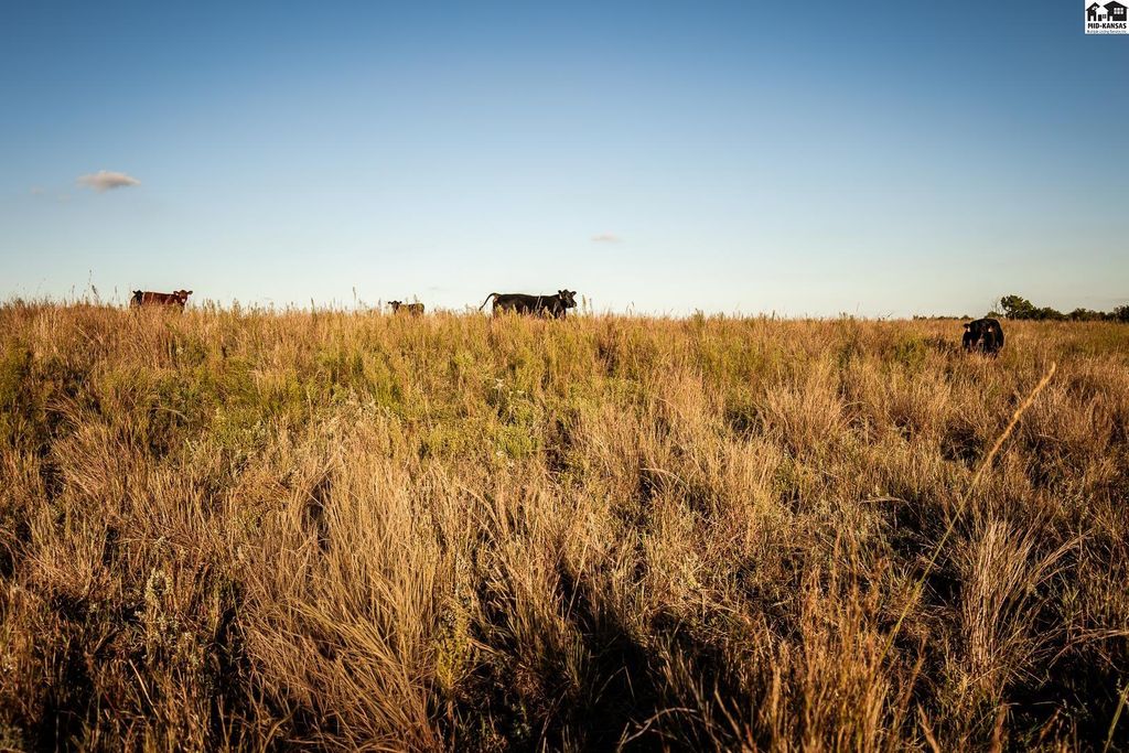
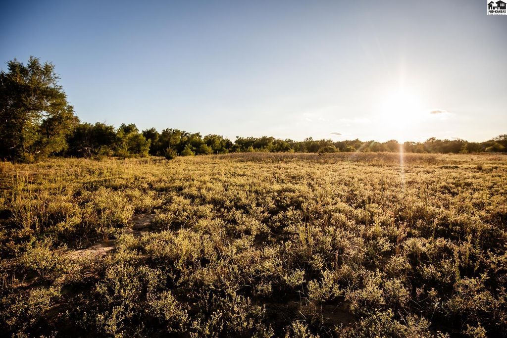
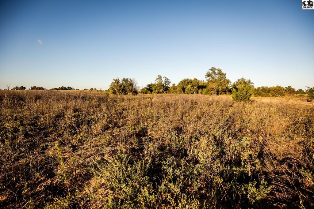
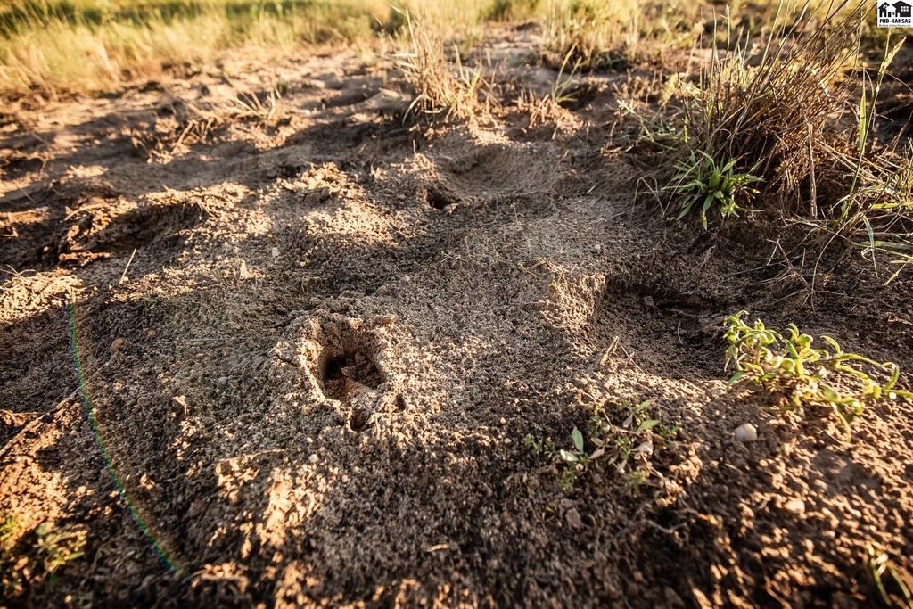
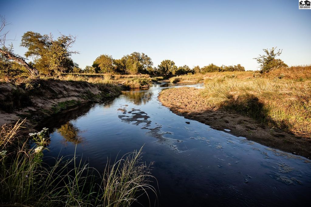
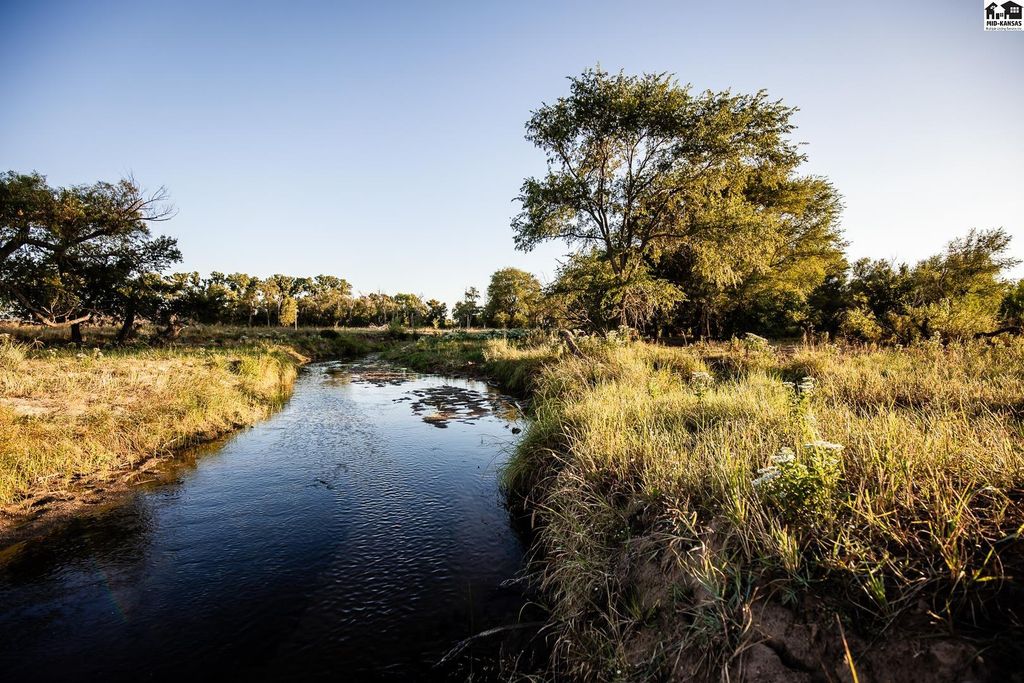
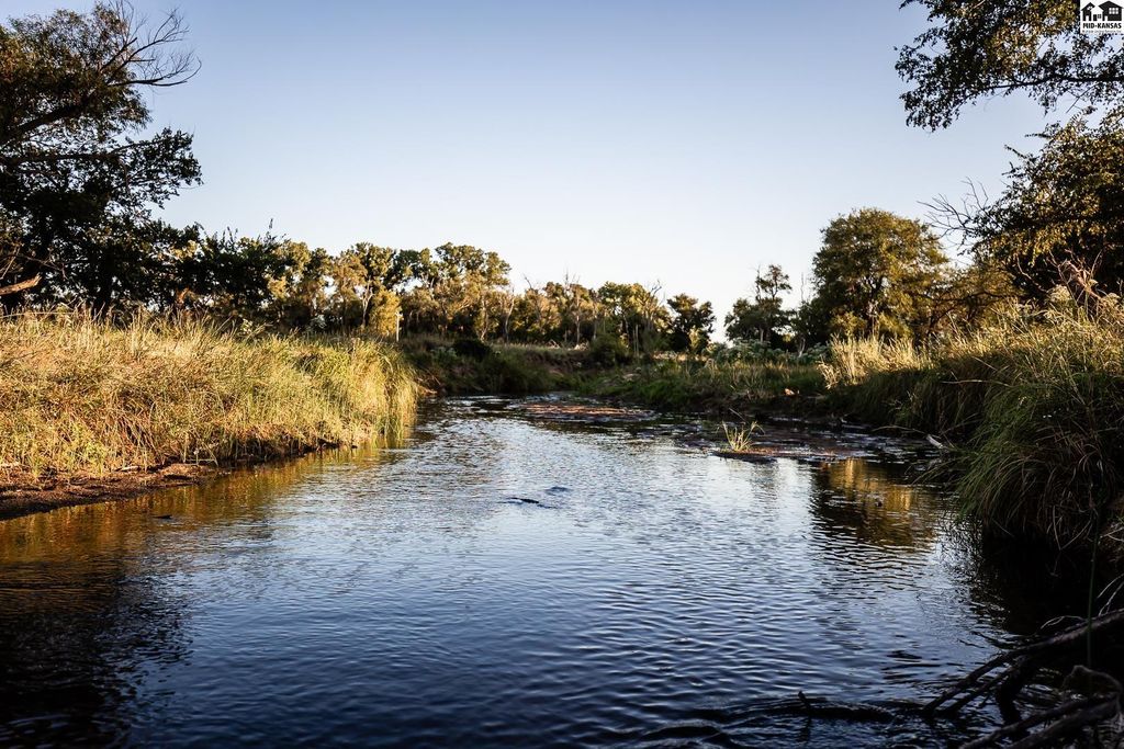
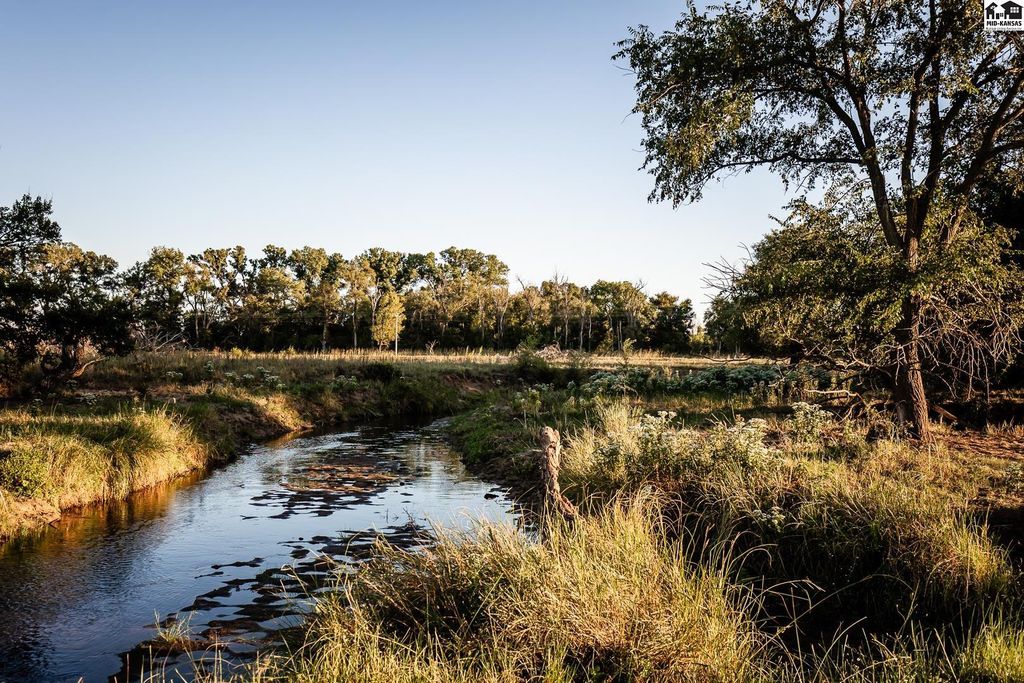
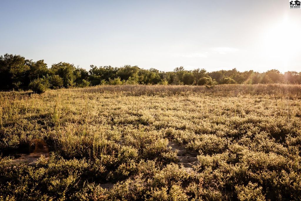
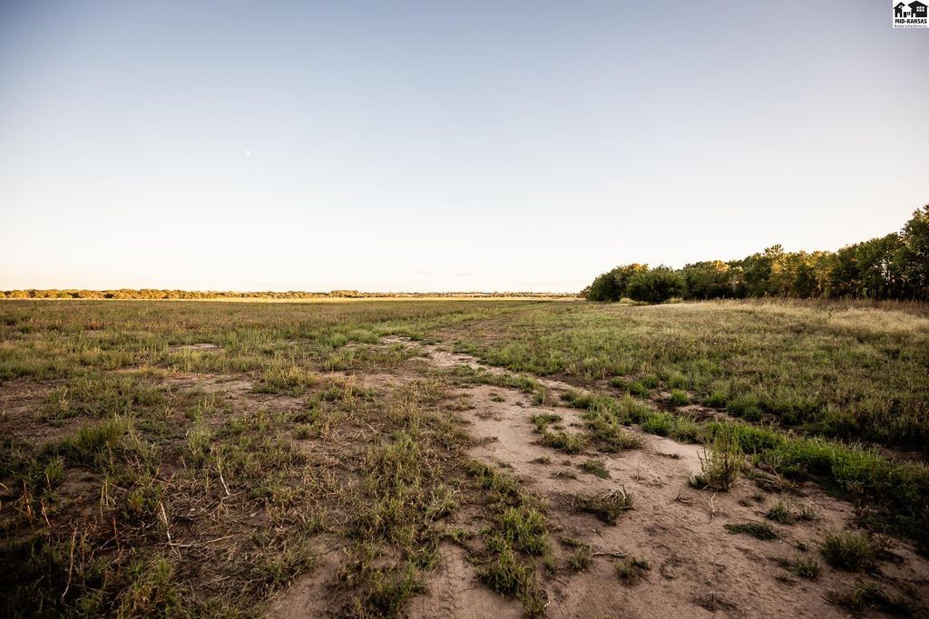
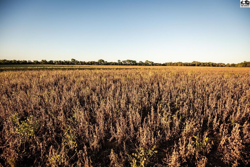
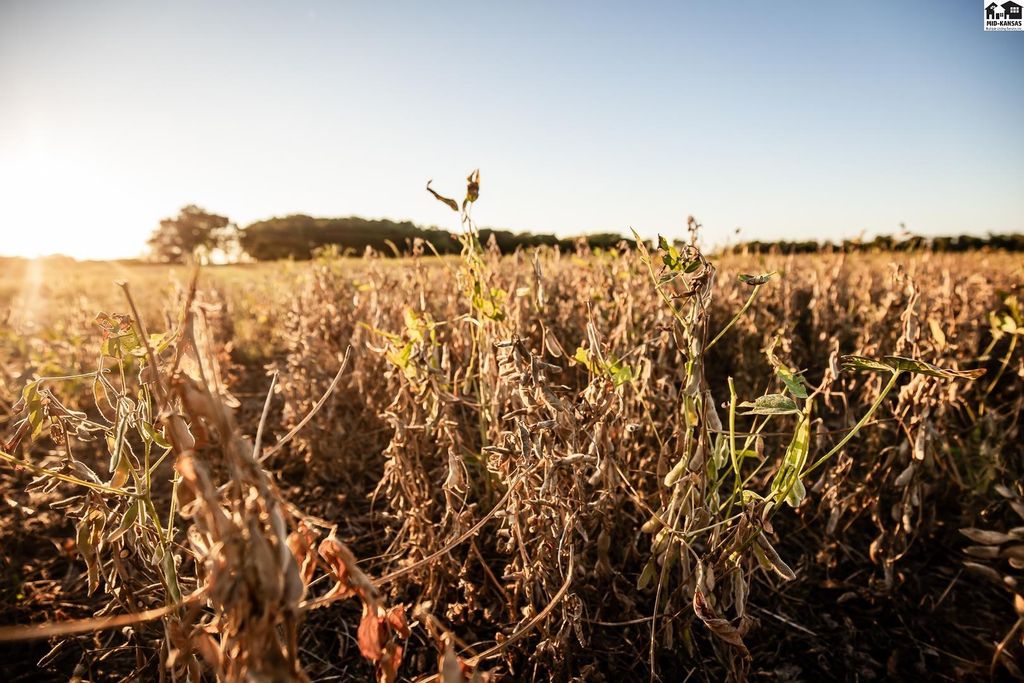
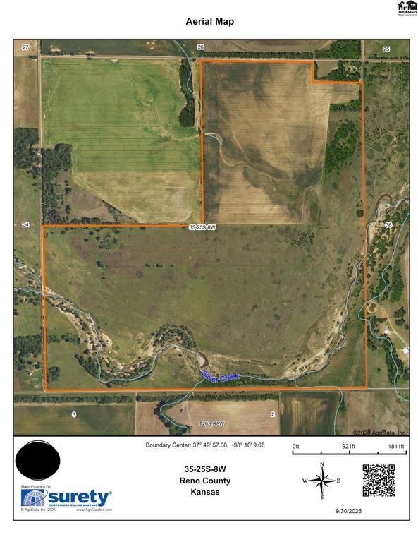
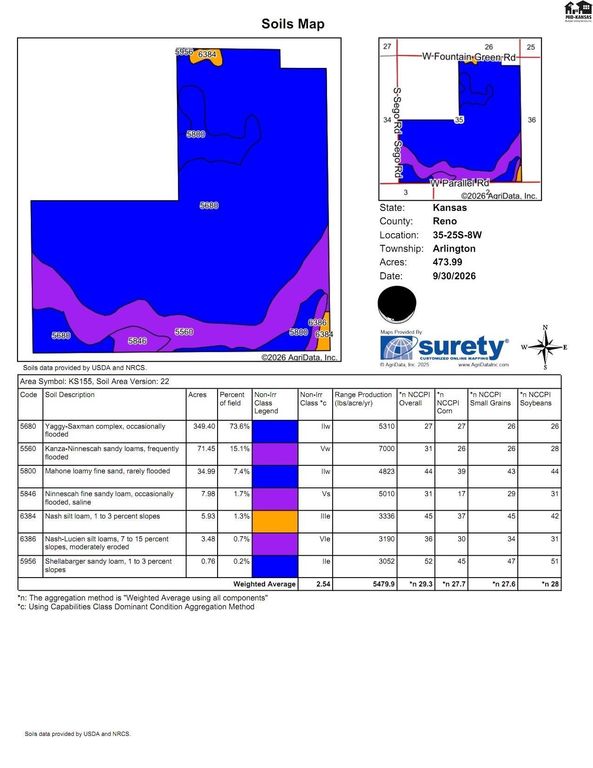
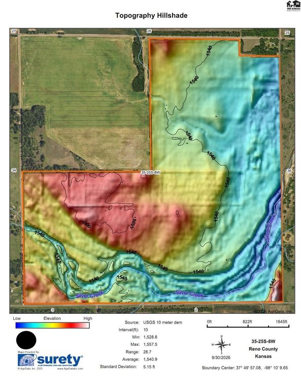
-Live Creek with Mature Timber -Trophy Whitetail Deer Hunting -Abundant Turkey Population -346+/- Acres Native Pasture -127+/- Acres Class II Tillable -1.7 Miles of Stream Frontage -Blacktop Road Frontage 1 Mile -Available Electric on three sides -Drilled Water Well and Infrastructure -Perimeter Fencing and Internal Fence -Multiple Buildsite Locations -4 Miles to Arlington Food/Fuel -17 Miles to Hutchinson Conveniences -50 Miles to Wichita National Airport -Mineral Rights Convey to Buyer -Possession Subject to Tenants Rights Located in Southern Reno County on paved Parallel road is 474+/- acres. This expansive offering is one of only a few properties this size south of 50 Highway. Silver Creek is a year- around stream, it runs the entire length of the farm. The Creek flows West to East through the property, the curves and shape make it a total length of 1.7 miles or 3,000 yards of stream bed. Land in this composition is scarce. This area of Reno County is specifically known for a rich wild game population. Deer, turkey, pheasants, quail and waterfowl will all congregate on this property. Pastures in this size range are hard to find, the fencing is in serviceable condition and the grass is excellent in lots of areas. The FSA considers 127.28 acres to be cropland on the north quarter. This acreage was planted to soybeans in 2026. Opportunities to string together a tract of land this size could take a lifetime. Call to Schedule a tour.
Date Added: 10/9/26 at 4:20 pm
Last Update: 10/13/26 at 3:53 am
Interior
- FlooringCarpet, Ceramic Tile
- BasementFull, Entrance- INTERIOR
Exterior
- ParkingParking Lot, Parking Pad
- Other StructuresNone
Construction
- RoofingFlat
- GeneralBrick, Block
Location
- Originating MLSprairie
- School DistrictFairfield
- CountyReno
- Road/AccessCounty Road
Lot
- ZoningParcel ID 2473500000003000 ARLINGTON TOWNSHIP, S35, T25, R08 W, ACRES 319, S1/2 OF SEC 35 EXC RD ROW Parcel ID: 2473500000001000 ARLINGTON TOWNSHIP, S35, T25, R08 W, ACRES 154.4, NE/4 EXC TR BEG NE COR NE/4 TH S 350 FT TH W 810 FT TH N 350 FT TH E 810 FT TO POB LESS RD R/ W
- TopographyPartially Wooded, Rolling, Low
- FencingBarbed Wire
Utilities
- UtilitiesElectricity Available
- WaterWell
- SewerNone
Financial
- Sourceprairie
Schools
- DistrictFairfield Unified School District 310
- ElementaryFairfield
- MiddleFairfield
- HighFairfield

 Listings courtesy of Mid Kansas Multiple Listing Service Inc. as distributed by MLS GRID. IDX information is provided exclusively for consumers' personal, non-commercial use and may not be used for any purpose other than to identify prospective properties consumers may be interested in purchasing. The use of the MLS GRID Data may be subject to an end user license agreement prescribed by the applicable MLS if any and as amended from time to time